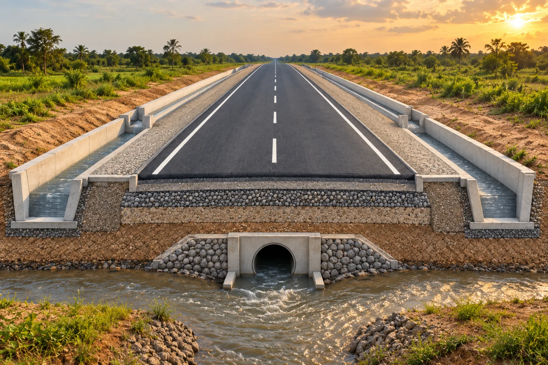
Civil infrastructure resolved from site conditions to delivery.
DVB coordinates roads, crossings, drainage and related civil works as one connected system, so levels, water movement, structures and construction requirements are considered together.
The design begins with the available survey, ground, hydrology and project information. Missing evidence is identified before it becomes a hidden construction assumption.
Site levels, access and interfaces
Drainage paths and crossing requirements
Survey and investigation requirements
02
Coordinate the civil design.
Alignments, structures and drainage are developed together, with the design basis and project constraints made visible to the wider team.
Road and pavement coordination
Bridge and culvert arrangements
Stormwater channels and drainage structures
03
Prepare for construction.
Drawings, schedules and quantities are organised around the agreed scope, giving the project team a consistent basis for review, pricing and site delivery.
Civil drawings, sections and details
Specifications and design notes
Measured quantities and construction coordination
Typical deliverables
A coordinated package your project team can use.
Civil design basis and information requirements
Road, drainage, culvert or bridge arrangement drawings
Levels, sections and coordinated construction details
Design calculations appropriate to the agreed scope
Material quantities and pricing information where commissioned
Each civil project is scoped around the available survey, hydrological, geotechnical and environmental information. Specialist investigations and statutory approvals remain explicit project requirements where applicable.
Start a conversation
Bring the drawings, site information or early idea you already have.